|
|
|||||||||||||
|
|
|||||||||||||
 |
||||||
|
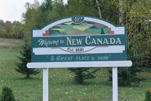
Also known as Daigle, New Canada is located northeast of Soldier Pond, in New Canada Township, in The St. John Valley of Aroostook County, Maine. When it was first organized as a plantation in 1881, New Canada had a population of fewer than 200 persons. By 1900 the population had more than doubled, reaching its maximum population of 590 in 1910, remaining at approximately that level until the population began a steady decline in the 1940s. Today it has a population of fewer than 300 people. While its population has not grown significantly in the past several years, the standard of living of its residents has increased significantly. Most of the farms, businesses, and homes in New Canada today are in good repair, although there has been little new construction. People in New Canada work locally, in the business of agriculture or forestry, or commute to Fort Kent, to the northwest. Most of the forest land in and around New Canada is owned by non-residents, and more than 40% of the total property is owned by The Consolidated Rambler Mines. |
||||||
 |
||||||
|
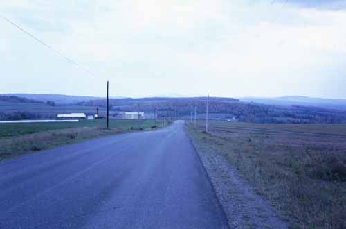
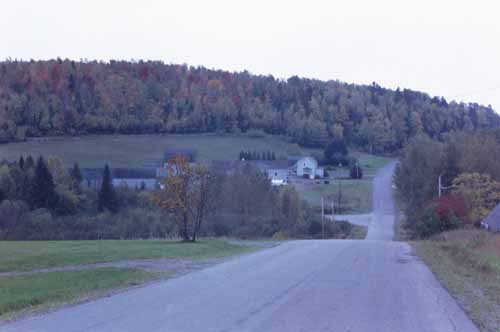
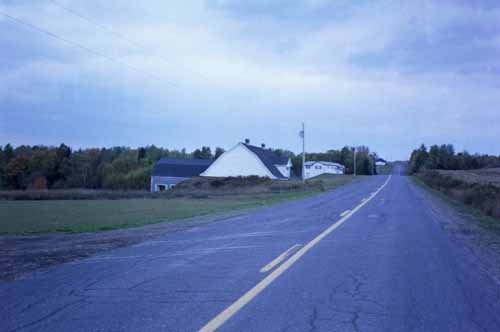
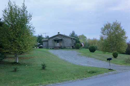
A striking feature of New Canada is one of wide open spaces. Houses and farms tend to be far apart, with rolling hills and plenty of trees. Photography was difficult due to the lack of shoulders to the roads, leaving few safe places to park. Agriculture appears to be potatoes, as is true in most of Aroostook County. |
||||||
 |
||||||
|
The town of New Canada operates under a selectman-manager form of town government. Selectmen, elected for three-year terms, appoint the town manager, who serves as the tax collector. Other elected positions include the town clerk, town treasurer, road commissioner, and constable. Until 1976, New Canada had a plantation form of government under the jurisdiction of the State Land Use Regulation Commission for land use control. As a plantation, New Canada was one of only three in the state running under an assessor-manager form of plantation government. |
||||||
 |
||||||
|
With little in the way of business, New Canada’s tax base is dependent upon its forest, agricultural, and resident properties. In 1970, there were 200 parcels of land ownership. The town has planned for growth only in the area of residential property, specifically in single family homes. |
||||||
 |
||||||