|
|
||||||||||||
|
|
||||||||||||
 |
|||||||
|
|
|||||||
|
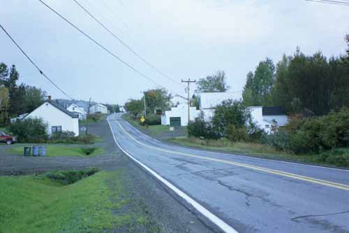
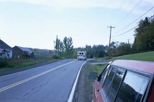
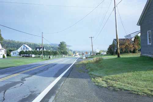
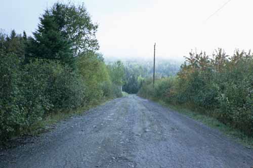
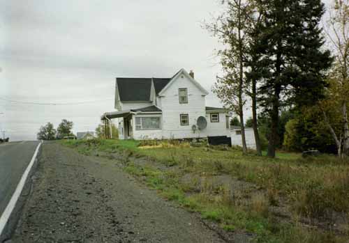
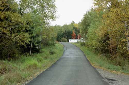
Photographs taken in Wallagrass, or in the area of Wallagrass, Maine in October of 2001. |
|||||||
 |
|||||||
|
The northern portion of present-day Route 11 from Sherman to Fort Kent was planned and constructed in several stages from 1826 to the 1850s. Route 11 incorporates two historical routes, the Aroostook Road, which ran 75 miles from Molunkus to Ashland, and the Fish River Road, which extended 45 miles from Ashland to Fort Kent. |
|||||||
 |
|||||||
|
The Aroostook and Fish River Roads provided access north from Maine’s population centers, and helped the state protect its claims to this region during the northern border dispute with Great Britain, known as the Aroostook War. |
|||||||
 |
|||||||
|
The Aroostook and Fish River Roads also encouraged settlement and the development of agricultural and timber lands in present-day Aroostook and Penobscot Counties. Even in its rough, early days, people readily traveled the Aroostook Road to reach the area’s valuable farm and timber lands. |
|||||||
 |
|||||||
 |
|||||||
 |
|||||||